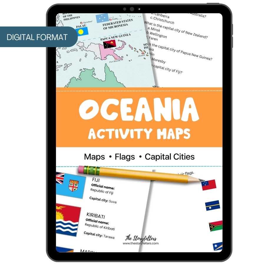
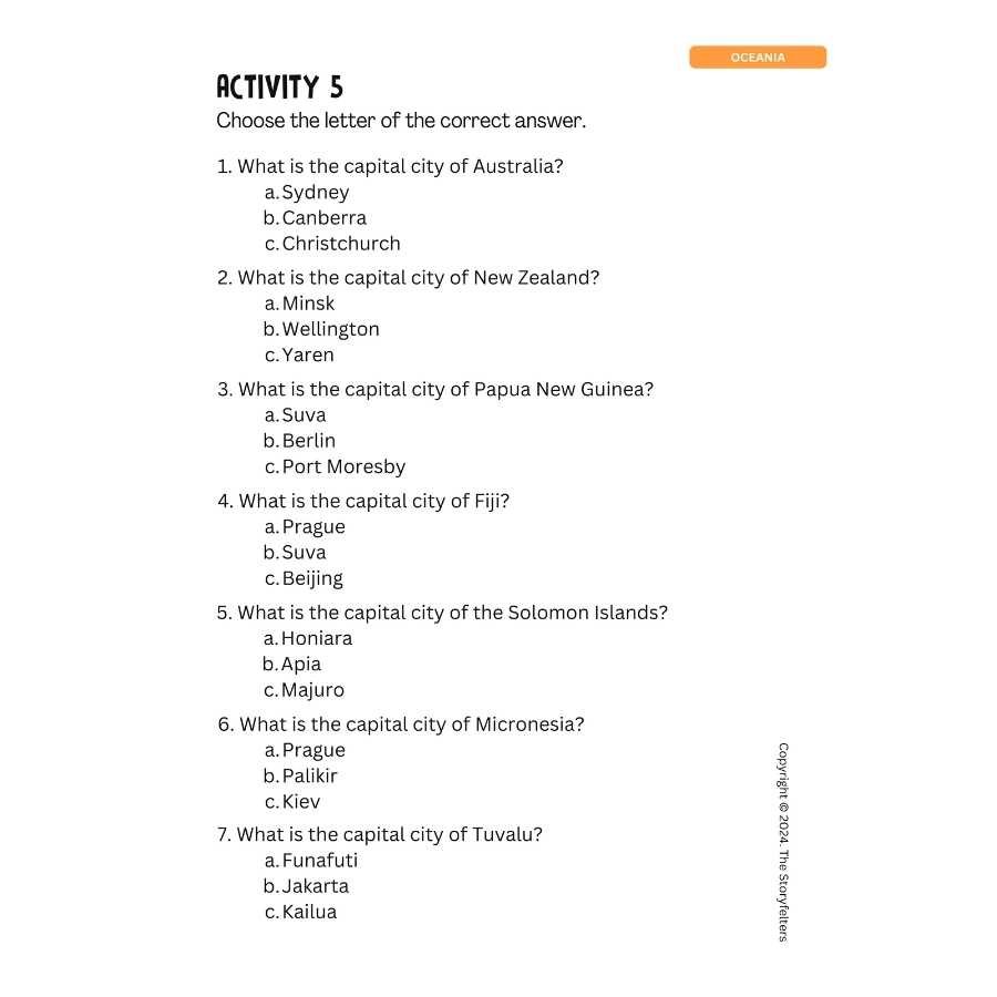
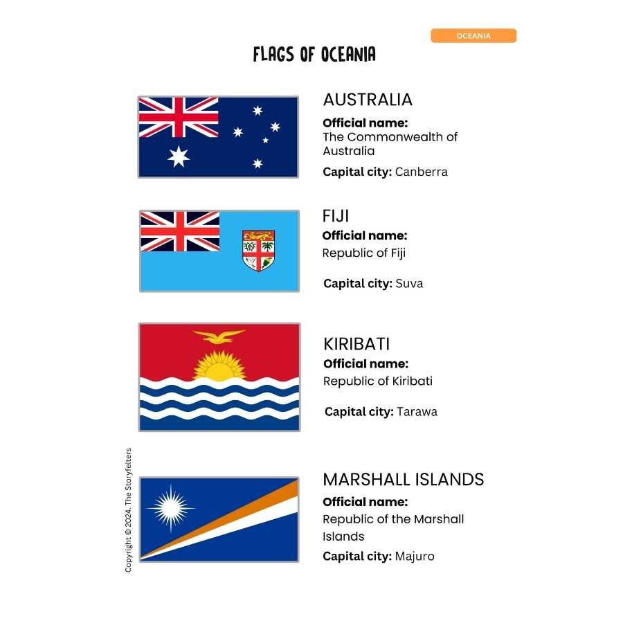
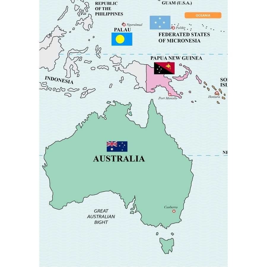
This Printable Activity Maps of Oceania features the maps, flags, and capital cities in Oceania. The countries in this global region are mostly small islands, except for Australia, New Zealand, and Papua New Guinea. Learn about these countries through activities that will help you identify the maps, flags, and capital cities of countries in Oceania. By accessing and downloading this file, you agree to use it only for your personal homeschooling needs. You can print this as many times as you need in your family. But we also ask you to help us protect our intellectual property rights. Since this is copyrighted material, please do not share this file with others. If you need to use it for a classroom or school setting, please contact us for a special arrangement. Your commitment will help us pay our staff and continue creating quality products you can print at home. Thank you and may God bless your learning activities.

Social Studies
Activity Maps of Oceania: Maps, Flags, Capital Cities
₱99.00
This Printable Activity Maps of Oceania features the maps, flags, and capital cities in Oceania. The countries in this global region are mostly small islands, except for Australia, New Zealand, and Papua New Guinea. Learn about these countries through activities that will help you identify the maps, flags, and capital cities of countries in Oceania.
Items Sold: 9
Only logged in customers who have purchased this product may leave a review.
Related products
-
K-G2
I am a Filipino: Social Studies for Kinder to Grade 2 | Units 1, 2, and 3, Digital Bundle
Original price was: ₱447.00.₱299.00Current price is: ₱299.00. Add to cart

Reviews
There are no reviews yet.