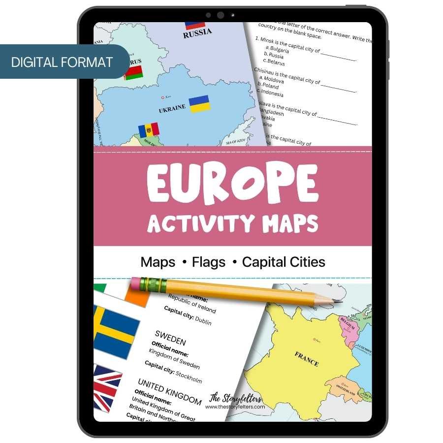
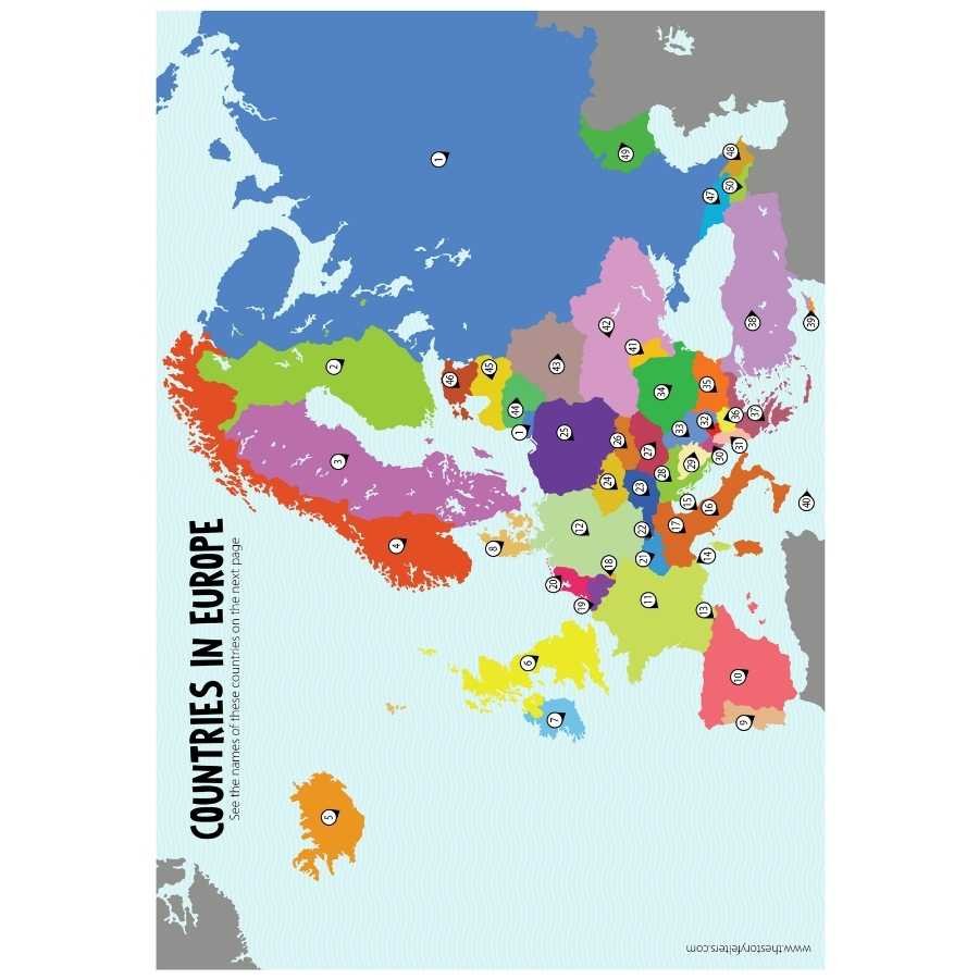
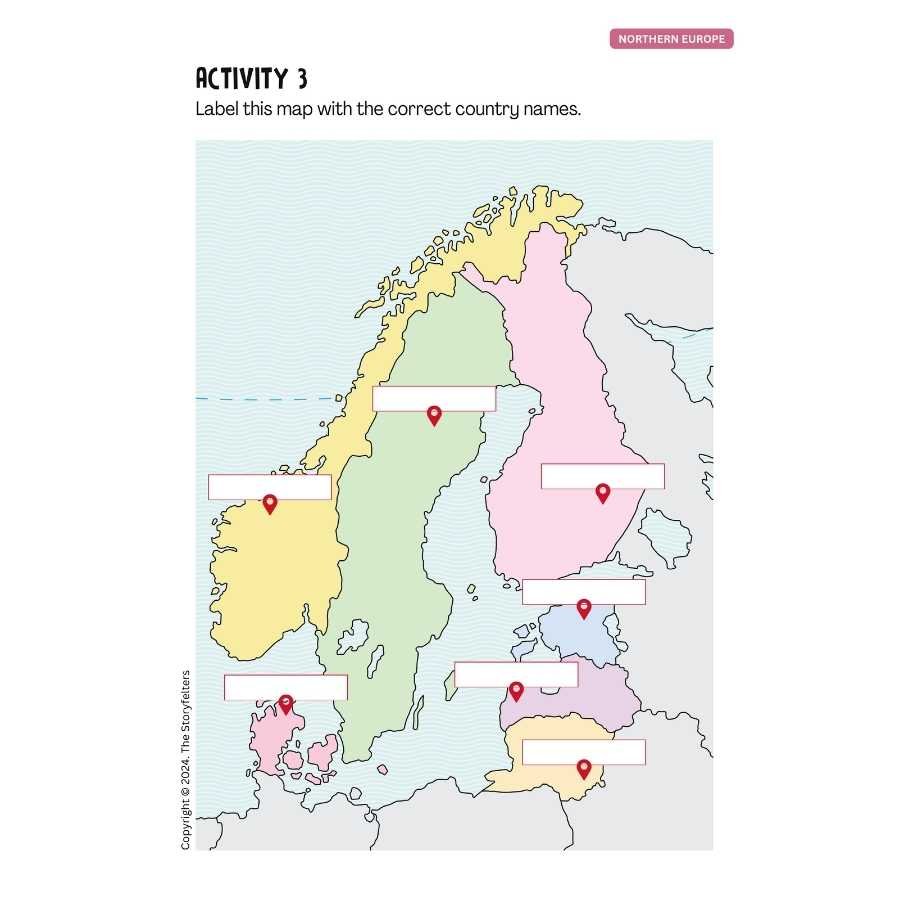

This Printable Activity Maps of Europe features the maps, flags, and capital cities of countries in the continent of Europe. The European continent has around 50 sovereign countries. Learn about these countries through activities that will help you identify the maps, flags, and capital cities of countries in the European continent. These are the regions included in this workbook:
- Eastern Europe
- Northern Europe
- Southern Europe
- Western Europe
By accessing and downloading this file, you agree to use it only for your personal homeschooling needs. You can print this as many times as you need in your family. But we also ask you to help us protect our intellectual property rights. Since this is copyrighted material, please do not share this file with others. If you need to use it for a classroom or school setting, please contact us for a special arrangement. Your commitment will help us pay our staff and continue creating quality products you can print at home. Thank you and may God bless your learning activities.

Reviews
There are no reviews yet.